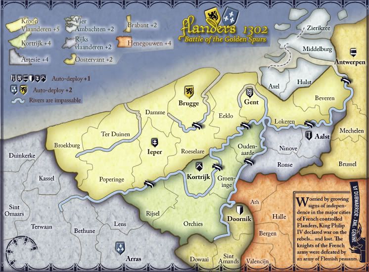
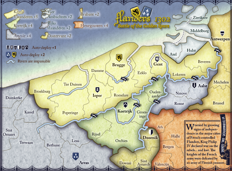
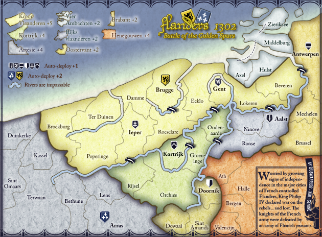
Back with some sort of update...
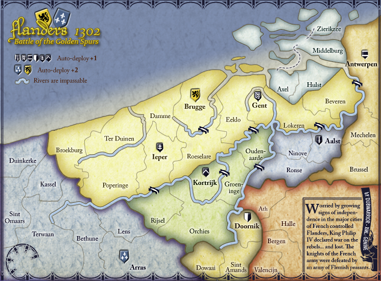
I skipped the mini-map and army circles because:
-mini map can be replaced by some color-dots, representing the regions (think: Ireland map). it will be easy to place them on the map, considering the leaning curve of my seaborder, and it will make the map look 'softer'...think it's a good idea?
- I think of removing the army circles...don't think there's a need to place them?
-anyone allready checked the border of terwaan? Terwaan is bordering with broekburg and poperinge, but I think it might be confusing with the rivercrossing in the east...see what I mean?
amongst the changes:
-saved as a PNG
-made shields and bridges sharper
-made the rivers a bit bigger and replaced them with sharper version
-removed the 'new' borders for the legend and the minimap








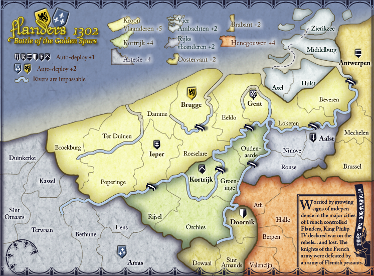

 I need to clean it up, because the title is now in the top