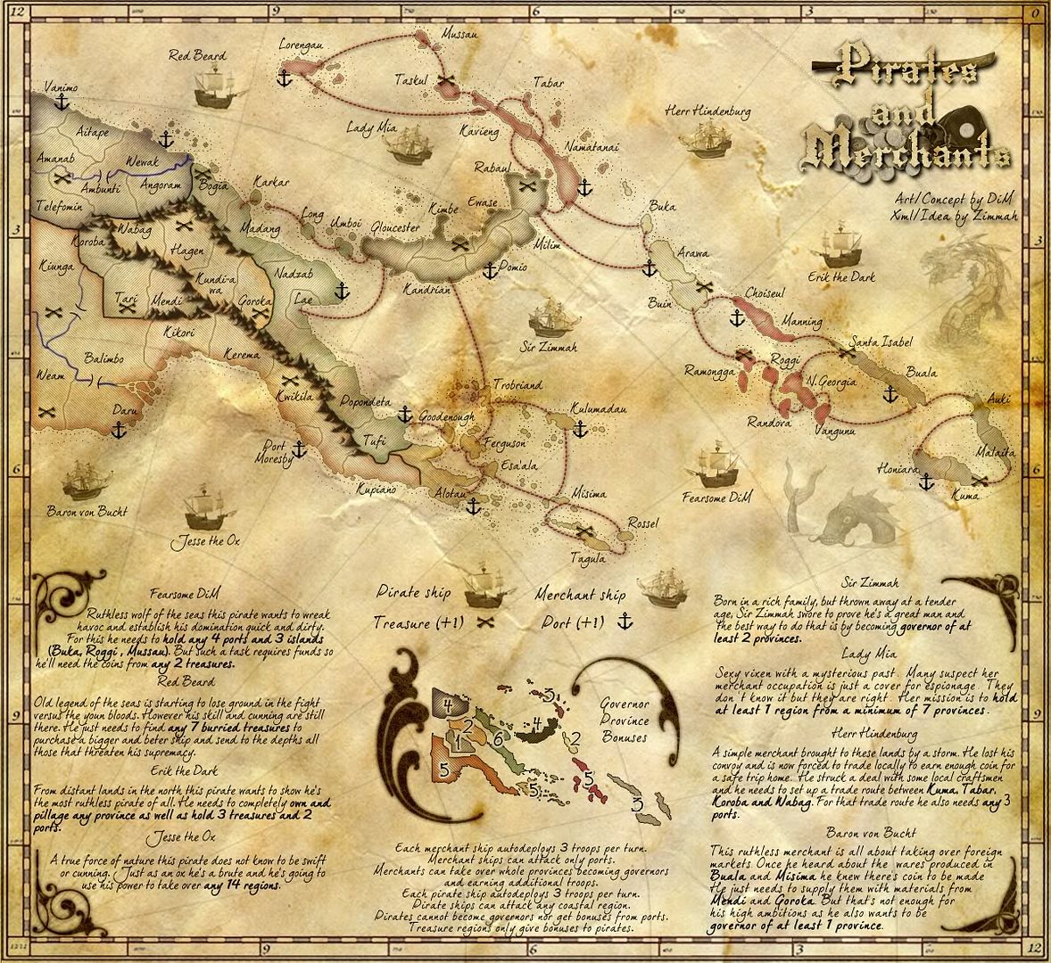
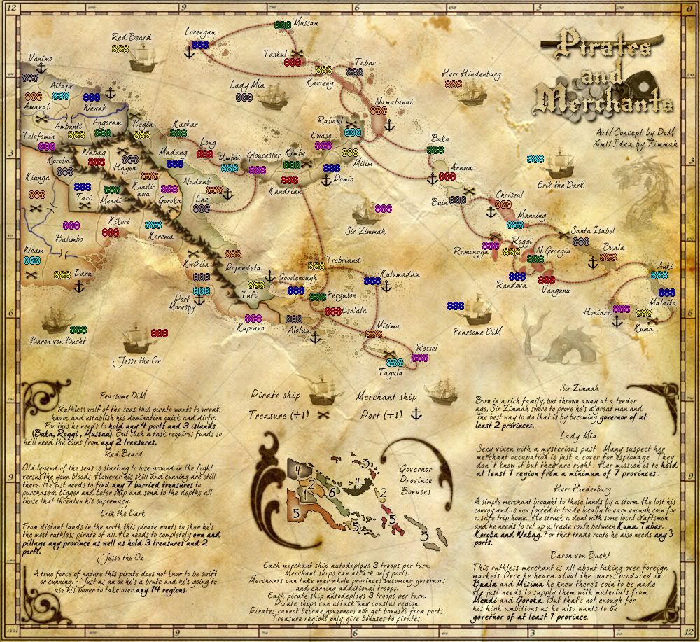
RedBaron0 wrote:Generally so, but I do have a question, it's more of a personal preference... The lines of longitude and latitude. That curvature of the lines on a map would only really be true near the poles, not that far north. They should have a slight curve, of course, the Earth being round and all, but in theory should be horizontal and vertical across the map.
the latitude and longitude are in the border and they're horizontal and vertical. they're not on the board because i don't quite like how that looks with a perfect grid.
the ones that are on the map are there just for the flow of the map, not for geographical purposes. if they're really bothering people i can remove them.
“In the beginning God said, the four-dimensional divergence of an antisymmetric, second rank tensor equals zero, and there was light, and it was good. And on the seventh day he rested.”- Michio Kaku


