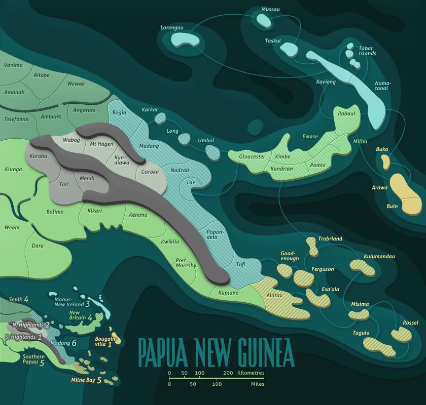
DiM wrote:to them even the concept of rivers and mountains as impassables might be something unknown as the classic risk map has no mountains or rivers.
The classic risk map lacks a lot of things we have on CC maps

Anyway, in terms of the classic risk map, territories connect when they either touch each other or are connected by a line. This is a fairly universal theme on the graphics of all CC maps as well.
In this case, both the mountains and rivers separate the territories from touching each other, from which one could form the argument that in terms of classical risk, they clearly represent borders which aren't passable.
Another way to think about it would be to think of the oceans in the risk map as prototypical impassables. When you extend this thought to rivers being just oceans that are shaped differently (in graphical terms), rivers at the very least should be pretty obvious.
All that said however, I can see the point about the mountain possibly looking like a territory to some, although I do think the lack of an army number should be a clear indication that it isn't... so I'm not opposed to marking the mountain as an impassable. However, the rivers should definitely be clear enough as they are.


