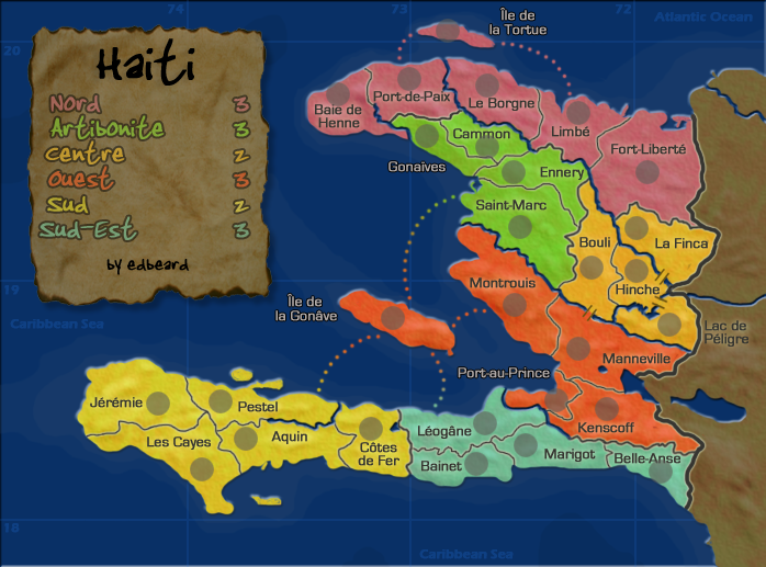
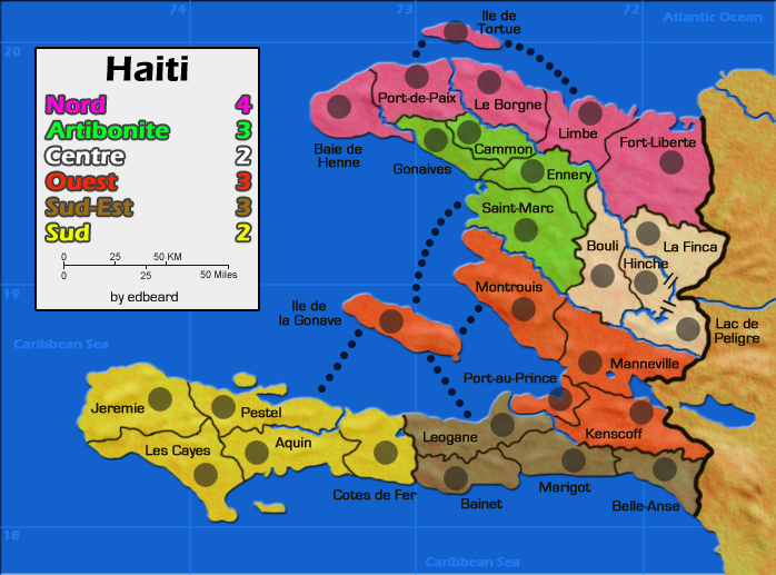
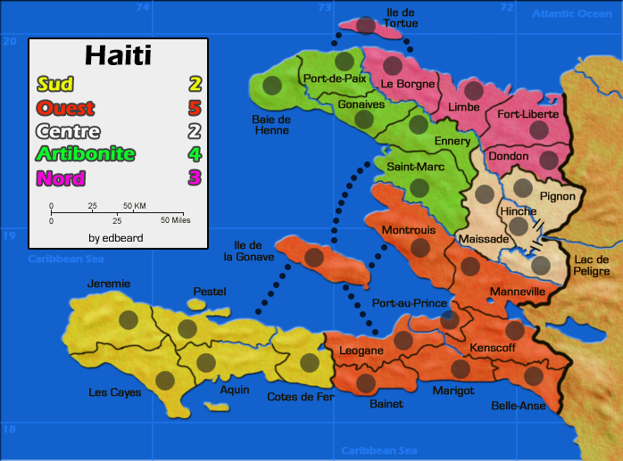
edbeard wrote:I don't think there'll be confusion about the rivers. There's a glow around the borders which distinguishes them from the river, and the border lines get smaller with the smaller map too! The proportion remains the same. Wait until the small version comes around again.
Fair enough... I trust you.
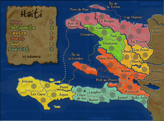
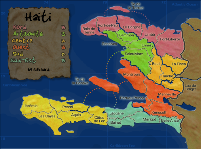
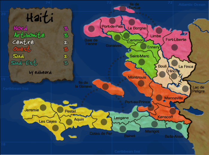
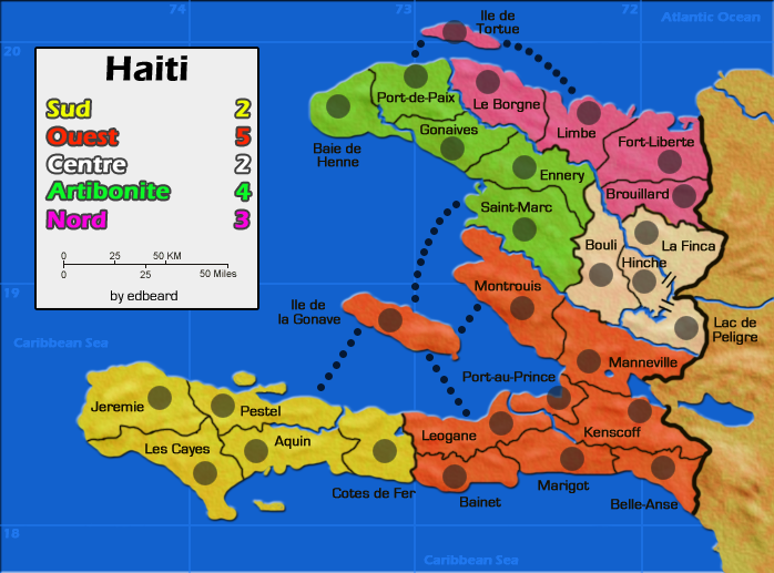
edbeard wrote:As for the Leogane route...my only problem with that is that it makes it possible to hold sud-est with just two borders. Though you need to hold six territories. I'll think about this a bit more.
So it's a five territory, +3 region with three borders, which expands to a six territory, +3 region with two borders... I think both configurations are solid.
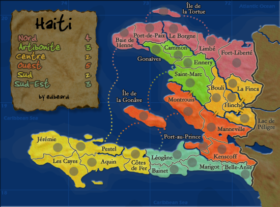
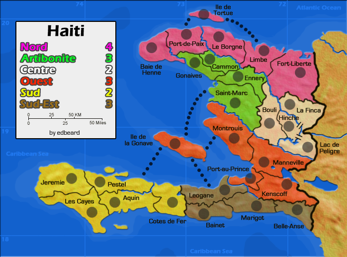
edbeard wrote:The Port-au-Prince route is a good idea. It is a port after all and it does open up that area a bit. The only problem is the name will cover the route a bit.
As long as the dot layer is under the title I think you're cool.
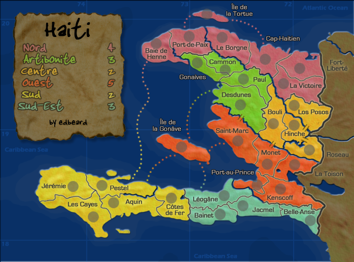
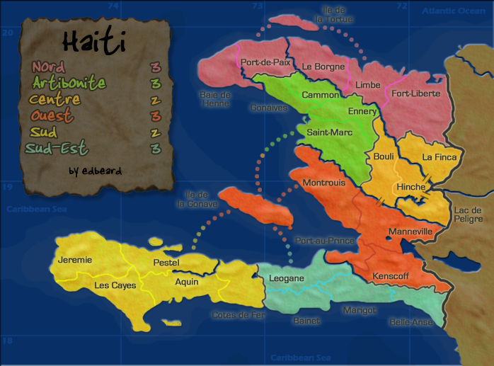
edbeard wrote:does taking away that route to Leogane make Ouest into a +4 region?
I don't think so - it still has as many territories to defend, and by adding an internal route you are actually making the region harder to conquer in the first place because you can't evacuate your armies out of any territory until you have the entire thing.
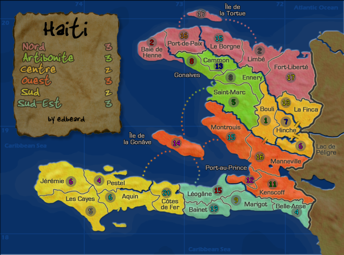
Another thing - do you think you can fit the Fort Liberte title in the territory? It looks like there's space, and the less you have floating in the dead area the better.


